Conflict Zone
Acrylic, watercolor and Indian ink on Arches 300g paper. 100 x 100 cm.2022.


Curt Nimuendajú (1883-1945) was a self-taught ethnologist of German origin who lived and traveled around Brazil for more than forty years, living with different communities of indigenous peoples, carrying out excavations, topographical and cartographic surveys, gathering linguistic material and studying indigenous material and spiritual culture.
In the 1940s, Nimuendajú handcrafted three editions of his Ethno-Historical Map of Brazil and Adjacencies, designed for the Goeldi Museum (1942), the Smithsonian Institution (1943) and the National Museum (1945) in Rio de Janeiro. Without drawing the names of the countries and federal units of Brazil, the map, produced in ink on paper, exhaustively documents more than 40 indigenous linguistic classifications, as well as the location of existing, extinct and abandoned settlements, among other references to the different indigenous communities in these territories.
Curt Nimuendajú’s Ethno-Historical Map allows us to observe a diversity of dynamics and original cultures in the interior of Brazil, contrasting directly with maps and discourses of the Brazilian State that narrated these regions as “empty” areas, a view perpetuated in policies such as the March to the West (1938-1945) and later during the construction of Brasília (1955-1960).
Thus, “Conflict Zone” (2022) delves into the narrative disparities between different maps of Brazil, appropriating the graphic patterns of Nimuendajú’s map and overlaying them with maps published by the state as part of the country’s colonization policies in the mid-20th century.

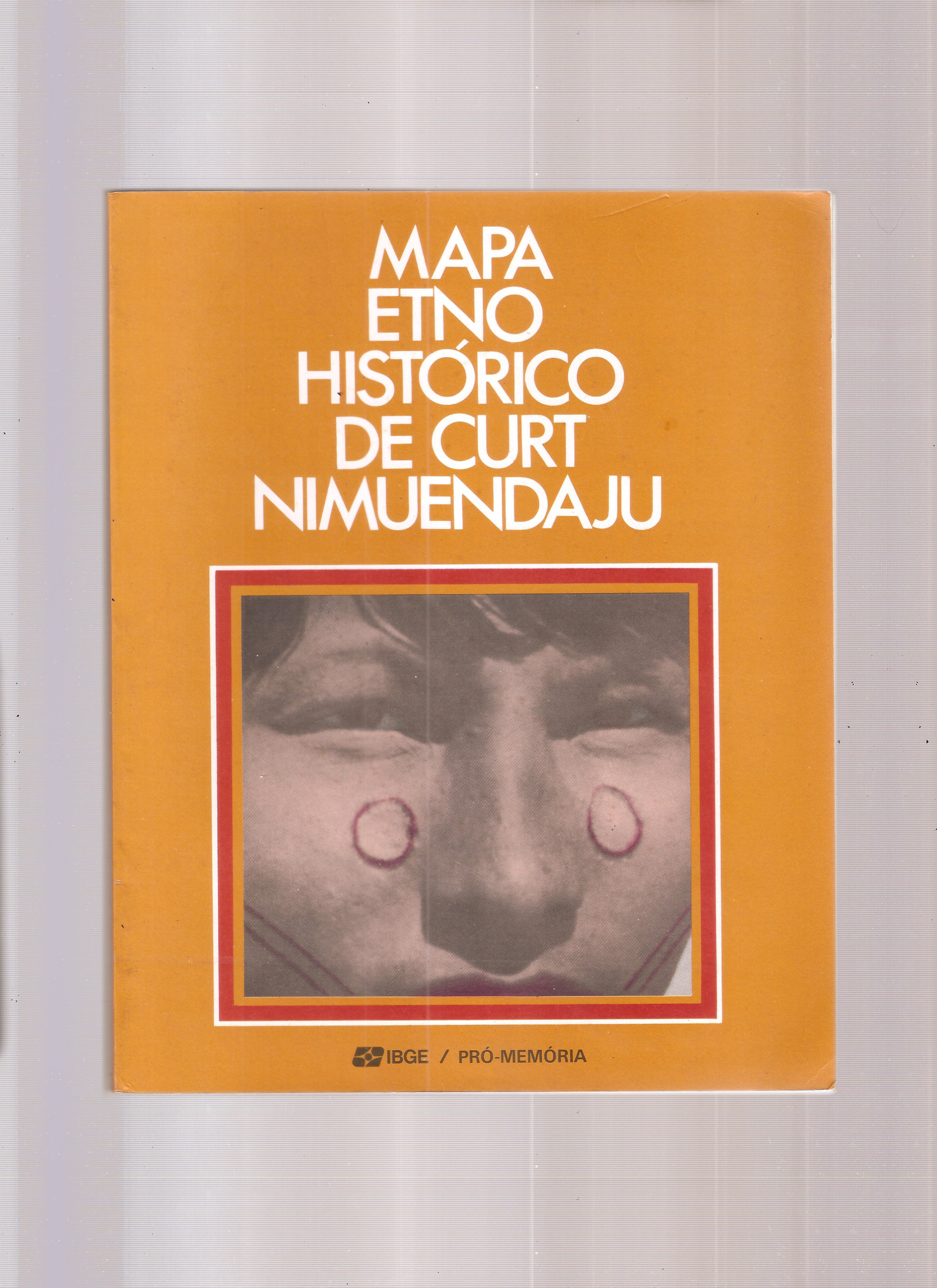
Book and map “Ethno-Historical Map of Brazil and Adjacent Regions”. Adapted reprint, 1987. IBGE.